


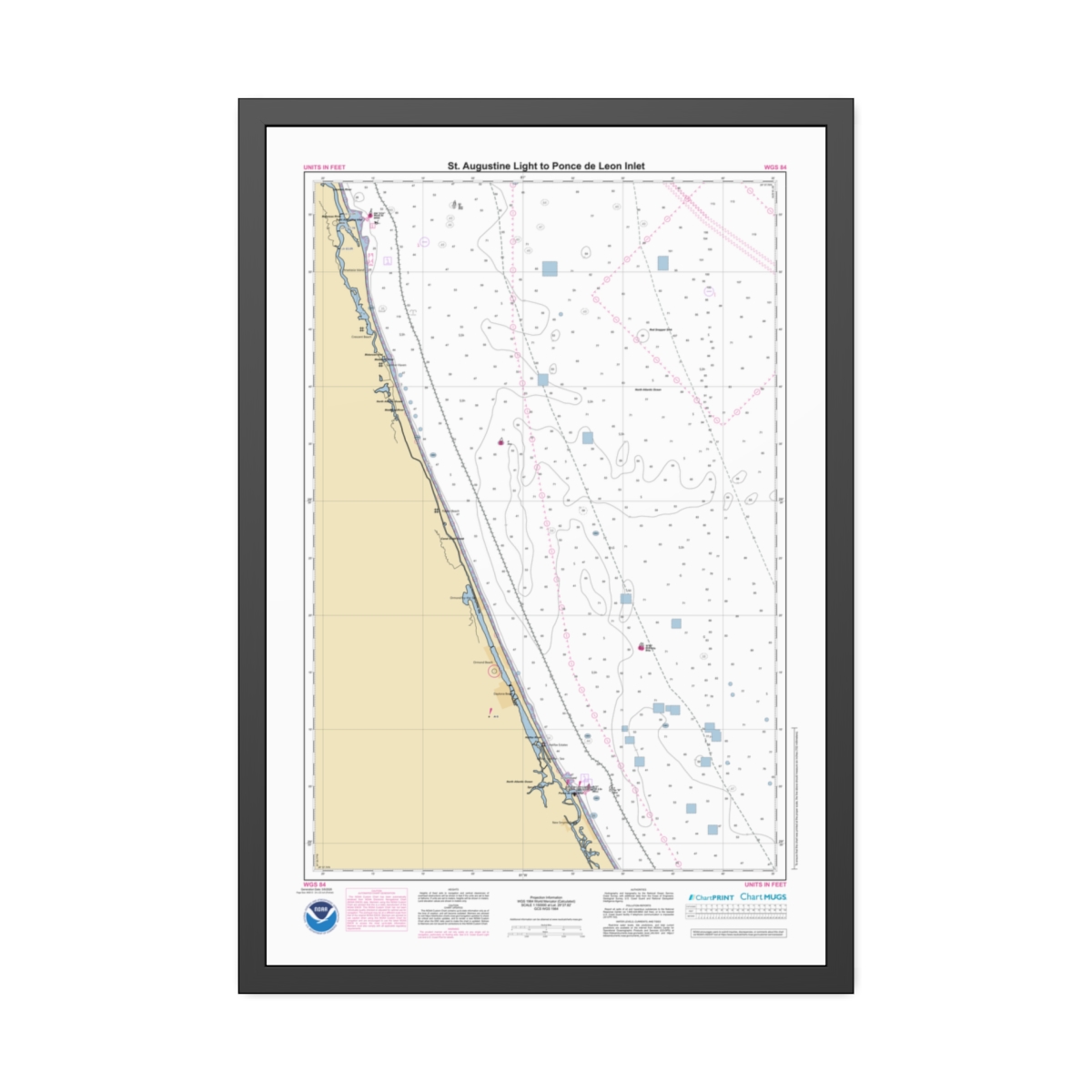
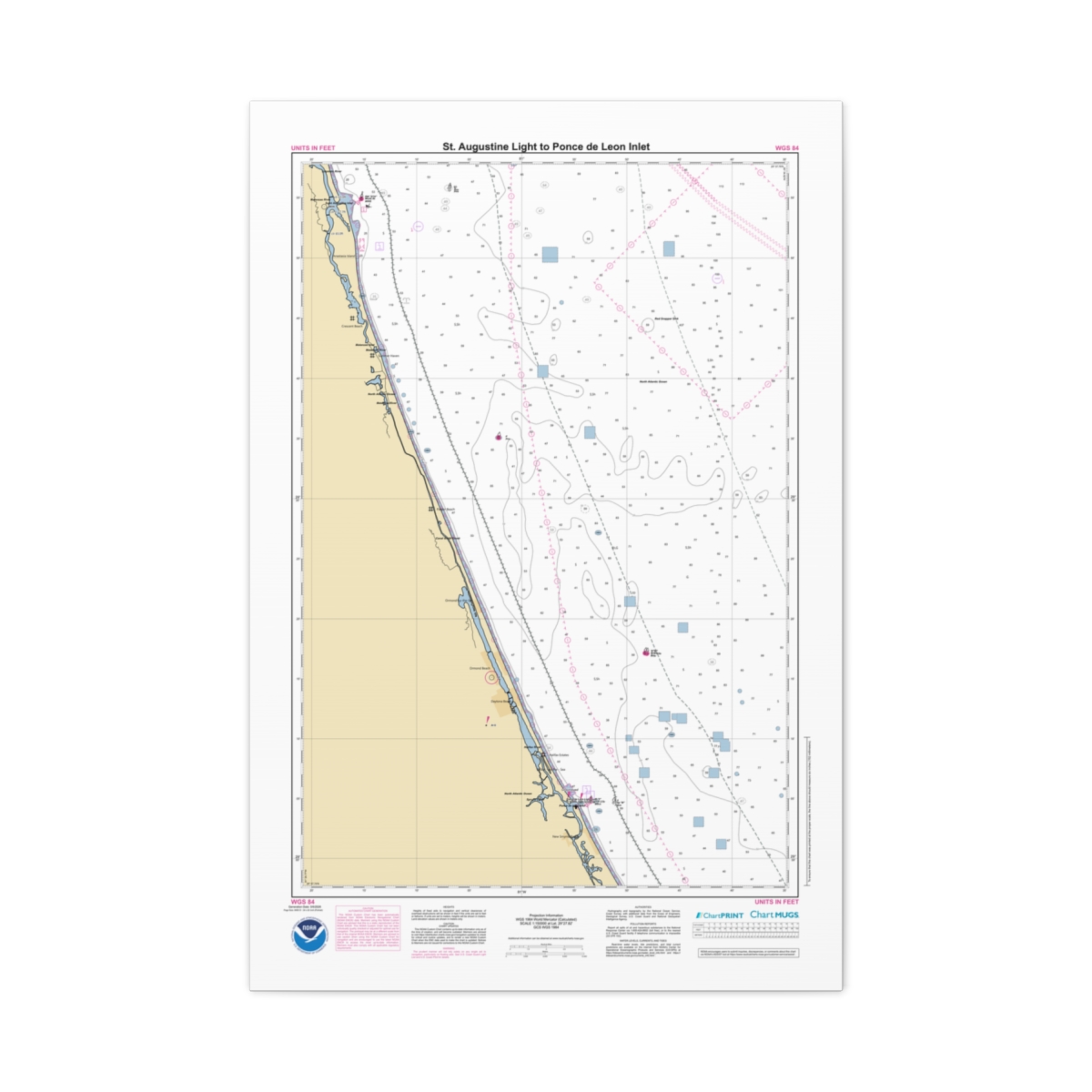
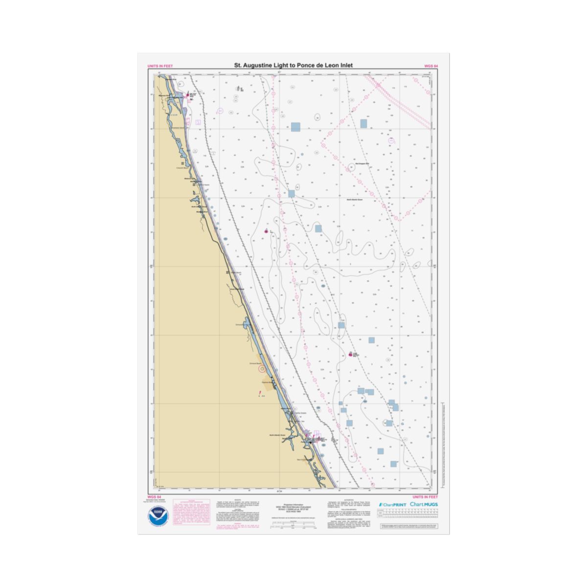
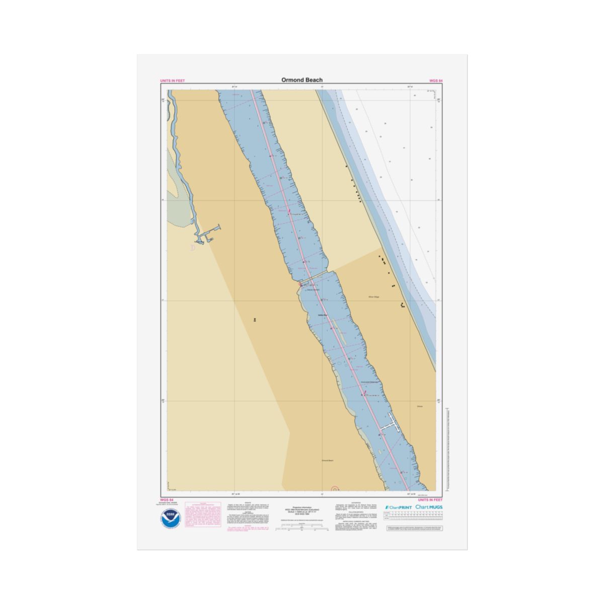
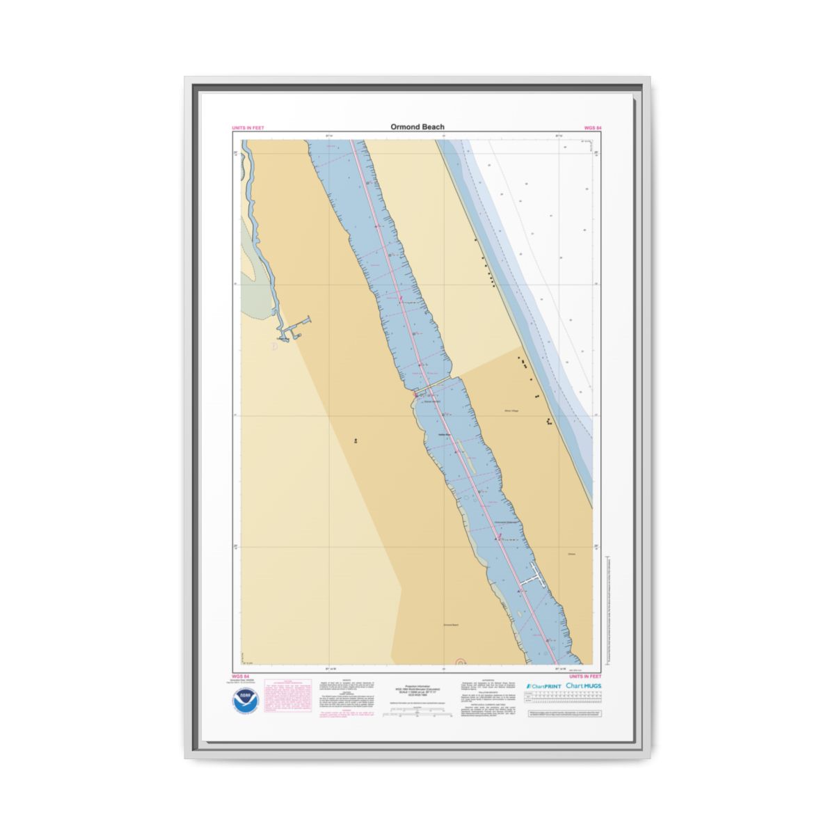
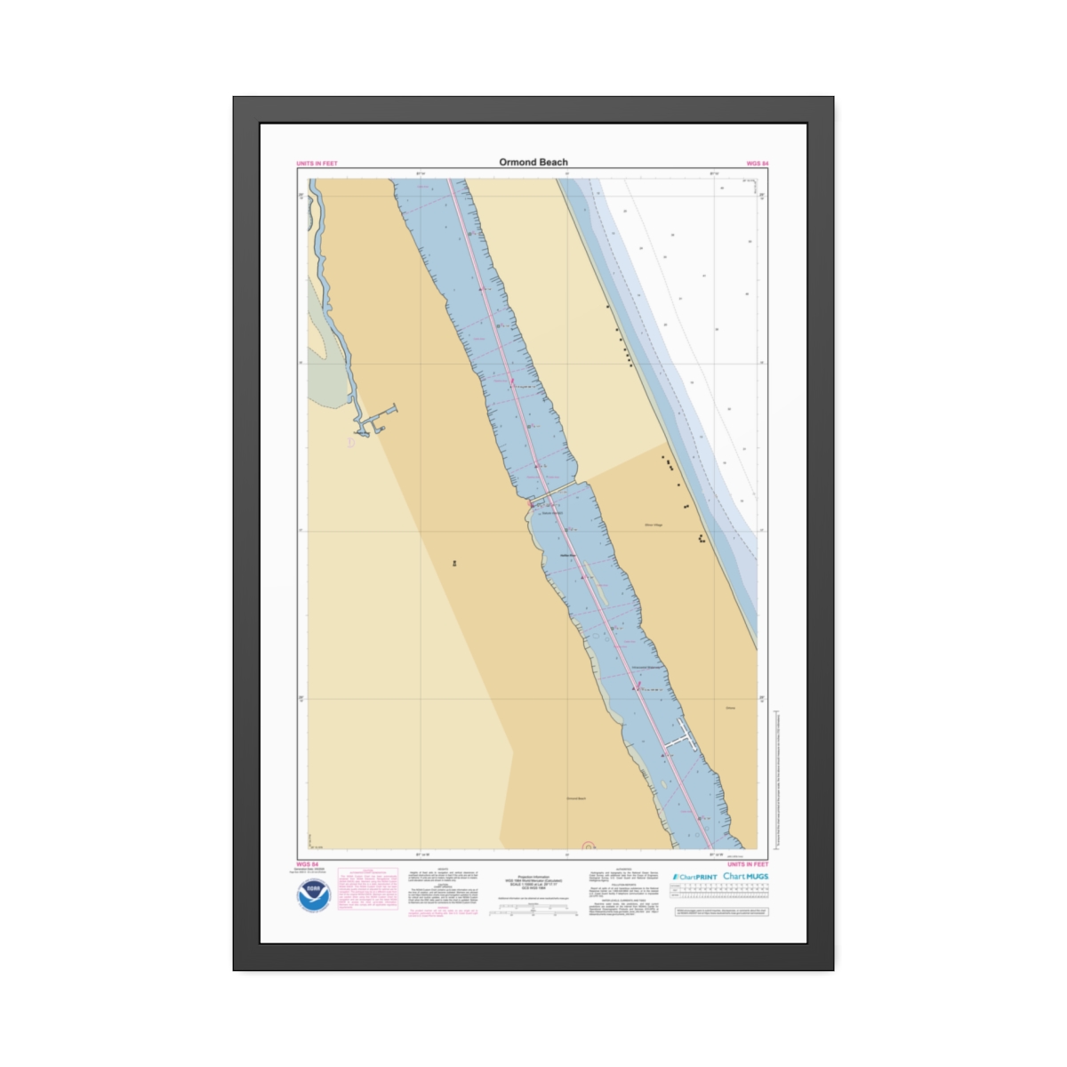
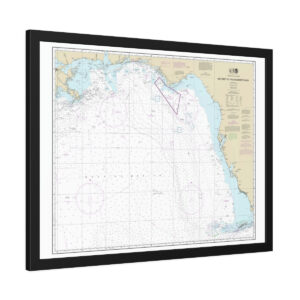
St. Augustine Light to Ponce de Leon Inlet Custom Nautical Chart
Personalized nautical chart of St. Augustine Light to Ponce de Leon Inlet at 1:150,000 scale — built from the same NOAA Electronic Navigational Chart data used in real marine navigation. Wide enough to take in the full sweep of the coast around St. Augustine Light to Ponce de Leon Inlet — bays, islands, shipping lanes, and the offshore waters beyond. 24″ x 36″ (Vertical).
About This Canvas Chart
Your custom St. Augustine Light to Ponce de Leon Inlet nautical chart printed on coated cotton-polyester canvas, mounted inside a floating pinewood frame. The visible gap between canvas and frame creates a dimensional gallery look. FSC certified radiata pine frame available in four colors — Black, Espresso, White, or Natural. Sawtooth hanging hardware pre-attached.
Four Frame Colors
Natural
Warm wood tone. Our most popular choice.
Black
Classic matte black. Sharp contrast.
Espresso
Rich dark brown. Warm sophistication.
White
Clean and bright. Modern minimal.
FSC Certified
Radiata pine from sustainably managed forests
Greenguard Gold Inks
UL certified, non-toxic, non-flammable
Sawtooth Hardware
Pre-attached, ready to hang immediately
1.25″ Depth
Gallery-quality canvas with floating gap
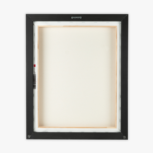
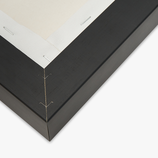
Chart Data
Official Electronic Navigational Chart Data
Every line, sounding, and symbol comes from official NOAA ENC data — the modern vector-based format that replaced the retired Raster Nautical Chart series.
- Chart Source: Official NOAA ENC data
- Scale: 1:150,000 — coastal overview
- Print Size: 24″ x 36″ (Vertical)
- Format: Floating Frame Canvas
- Canvas: Cotton/polyester composite with proprietary coating
- Frame: FSC certified pinewood — Black, Espresso, White, or Natural
- Inks: UL Greenguard Gold certified latex
- Shipping: Free on all orders
Common Questions
Frequently Asked Questions
What frame colors are available?
What is a floating frame?
Are the inks safe for indoor use?
Is this chart suitable for navigation?
If the canvas gathers dust, wipe gently with a clean, damp cloth.
Create a Custom Chart
Looking for a different spot? Preview it live before you order.
Chart Notes Preview
St. Augustine Light to Ponce de Leon Inlet
Generation Date: 5/6/2026
Page 2
NOAA CUSTOM CHART
NOTES GEOSPATIAL DATABASE
VERSION 3.0C - 17 MARCH 2026
The records of the NOAA Custom
Chart Notes Geospatial Database are
current
as
of
March
17,
2026.
Subsequent additions and refinements
are to be expected. Please refer to
all
available
navigational
publications for complete information
about the charted area.
CAUTION
AUTOMATED CHART GENERATION
This NOAA Custom Chart has been
automatically
rendered
from
NOAA
Electronic Navigational Chart (NOAA
ENC®) data. Mariners using this NOAA
Custom Chart are advised that this is
a static reproduction of the NOAA
ENC®. This NOAA Custom Chart has not
been individually quality checked or
adjusted
for
optimal
use
for
navigation. The portrayal may be at a
different scale from that of the
original NOAA ENC®. Mariners are
advised to use caution when using
this NOAA Custom Chart for navigation
and are encouraged to use the latest
NOAA ENC® to access the most up-to-
date information. Mariners must also
comply with all applicable regulatory
requirements.
CAUTION
CHART UPDATES
This NOAA Custom Chart contains up-
to-date information only as of the
time of creation, and will become
outdated. Mariners are advised to
visit
https://
distribution.charts.noaa.gov/
navigation-updates/
to
check
for
critical and routine updates, and to
render a new NOAA Custom Chart when
the ENC data used to make the chart
is updated. Notices to Mariners are
not issued for corrections to this
NOAA Custom Chart.
HEIGHTS
Heights of fixed aids to navigation
and vertical clearances of overhead
obstructions will be shown in feet if
the units are set to feet or fathoms.
If units are set to meters, heights
will
be
shown
in
meters.
Land
elevation values are shown in meters
only.
AUTHORITIES
Hydrography and topography by the
National Ocean Service, Coast Survey,
with additional data from the Corps
of Engineers, Geological Survey, U.S.
Coast Guard and National Geospatial-
Intelligence Agency.
WATER LEVELS, CURRENTS, AND TIDES
Real-time
water
levels,
tide
predictions,
and
tidal
current
predictions are available on the
internet
from
NOAA’s
Center
for
Operational
Oceanographic
Products
and Services (CO-OPS) at https://
tidesandcurrents.noaa.gov/
water_level_info.html
and
https://
tidesandcurrents.noaa.gov/
currents_info.html .
COMMENTS REQUESTED
NOAA encourages users to submit
inquiries, discrepancies, or comments
about this chart via NOAA's ASSIST
tool
at
https://
nauticalcharts.noaa.gov/customer-
service/assist/ .
ABBREVIATIONS
For complete list of Symbols and
Abbreviations, see Chart No. 1.
St. Augustine Light to Ponce de Leon Inlet
Generation Date: 5/6/2026
Page 3
POLLUTION REPORTS
Report all spills of oil and
hazardous substances to the National
Response Center via 1-800-424-8802
(toll free), or to the nearest U.S.
Coast Guard facility if telephone
communication is impossible (33 CFR
153).
AIDS TO NAVIGATION
Consult U.S. Coast Guard Light List
for
supplemental
information
concerning aids to navigation.
RADAR REFLECTORS
Radar reflectors have been placed
on many floating aids to navigation.
Individual
radar
reflector
identification on these aids has been
omitted from this chart.
WARNING
The prudent mariner will not rely
solely
on
any
single
aid
to
navigation, particularly on floating
aids. See U.S. Coast Guard Light List
and U.S. Coast Pilot for details.
ADDITIONAL INFORMATION
Additional information can be
obtained
at
www.nauticalcharts.noaa.gov
SUPPLEMENTAL INFORMATION
Consult U.S. Coast Pilot 4 for
important supplemental information.
Refer to charted regulation section
numbers.
SOUNDING DATUM
Soundings referred to Mean Lower
Low Water (MLLW).
VERTICAL DATUM
Overhead clearances are referred to
Mean High Water (MHW).
NOTE A
Navigation
regulations
are
published in Chapter 2, U.S. Coast
Pilot 4. Additions or revisions to
Chapter
2
are
published
in
the
Notices
to
Mariners.
Information
concerning the regulations may be
obtained
at
the
Office
of
the
Commander, 7th Coast Guard District
in Miami, FL or at the Office of the
District Engineer, Corps of Engineers
in Jacksonville, FL.
Refer to charted regulation section
numbers.
St. Augustine Light to Ponce de Leon Inlet
Generation Date: 5/6/2026
Page 4
HURRICANES AND TROPICAL STORMS
Hurricanes, tropical storms and
other
major
storms
may
cause
considerable
damage
to
marine
structures, aids to navigation and
moored
vessels,
resulting
in
submerged
debris
in
unknown
locations. Charted soundings, channel
depths and shoreline may not reflect
actual
conditions
following
these
storms. Fixed aids to navigation may
have been damaged or destroyed. Buoys
may
have
been
moved
from
their
charted
positions,
damaged,
sunk,
extinguished
or
otherwise
made
inoperative. Mariners should not rely
upon the position or operation of an
aid
to
navigation.
Wrecks
and
submerged obstructions may have been
displaced
from
charted
locations.
Pipelines may have become uncovered
or moved. Mariners are urged to
exercise extreme caution and are
requested
to
report
aids
to
navigation discrepancies and hazards
to navigation to the nearest United
States Coast Guard unit.
CAUTION
Temporary changes or defects in
aids to navigation are not indicated
on this chart. See Local Notice to
Mariners.
CAUTION
LIMITATIONS ON THE
USE OF RADIO SIGNALS
Limitations on the use of radio
signals as aids to marine navigation
can be found in the U.S. Coast Guard
Light Lists and National Geospatial-
Intelligence Agency Publication 117.
Radio direction-finder bearings to
commercial broadcasting stations are
subject to error and should be used
with caution.
CAUTION
CAPE CANAVERAL
Trawlers or other vessels should
exercise caution while dragging the
ocean floor within a 34.8 nautical
mile
radius
of
Cape
Canaveral,
Florida, since it is known that
missile debris, some of which may
contain unexploded ordnance, exists
in this area.
RESTRICTED AREA
RIGHT WHALE SEASONAL
MANAGEMENT AREA
(50 CFR 224.105)
All vessels greater than or equal
to 65 feet / 19.8 meters in length
must slow to speeds of 10 knots or
less in seasonal management areas.
RIGHT WHALE CRITICAL HABITAT
(PRECAUTIONARY AREA: 50 CFR 226.203,
224.103C; SEE NOTE A)
It is illegal to approach any right
whale anywhere closer than 500 yards/
457.2 meters.
NOTE
Mantanzas Inlet is closed to
navigation.
Reviews
There are no reviews yet.