


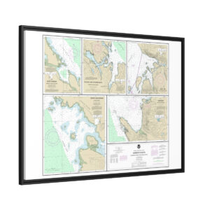
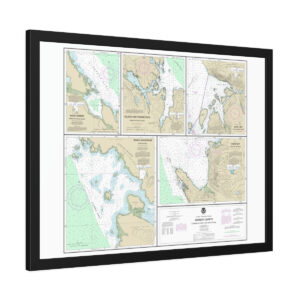
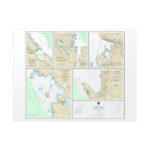
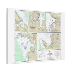
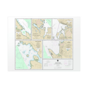
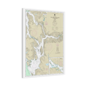
Chart Title: Harbor Charts-Clarence Strait and Behm Canal Dewey Anchorage, Etolin Island;Ratz Harbor, Prince of Wales Island;Naha Bay, Revillagigedo Island;Tolstoi and Thorne Bays, Prince of Wales ls.;Union Bay, Cleveland Peninsula
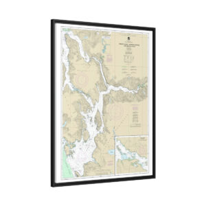
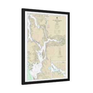
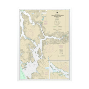
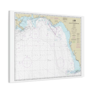
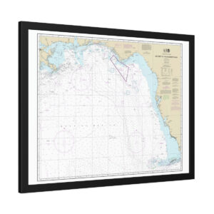
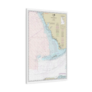
Chart Title: NOAA Nautical Chart
Latitude: 55.7182138889366
Longitude: -132.332483332952
Parent Category: Wall Decor
Category: Rolled Poster
Publishing Status: Published
Rolled Poster Charts
Bring your charts to life in stunning detail on either fine-art (310gsm) or semi-gloss paper (260gsm).
Vibrant colors
The latest printing techniques provide bright and crisp colors matching your chart.
Two paper options
Available in two options – fine art and semi-gloss
- Fine art paper (310gsm) with a soft textured surface and archival quality
- Semi-gloss paper (260gsm) with a bright white satin finish and full sharp color fidelity
- Multiple sizes
- Thousands of official NOAA Nautical Charts
These framed fine art prints are available in multiple sizes. The fine art paper has a soft textured surface with archival quality. The semi-gloss paper is a bright white photo paper with a satin finish and offers full sharp color fidelity. Choose the option that best suits your display needs.
With our attention to detail and commitment to quality, you can be sure that your charts will not only be functional but also a beautiful addition to your space. The latest printing techniques provide bright and crisp colors, matching your charts exactly.
Reviews
There are no reviews yet.