Skip to navigation
Skip to content
Your Cart
MENU
My account
Account details
Order Tracking
Orders
Downloads
Addresses
Lost password
Customer Help
Checkout
$
0.00
0
Search for:
Search
$
0.00
0
Home
/
Product Chart Title
/
Northern part of Tlevak Strait and Uloa Channel
Northern part of Tlevak Strait and Uloa Channel
Show Filters
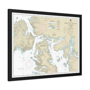
Wrapped Canvas
Chart No. 17407
Northern part of Tlevak Strait and Uloa Channel
32" x 24" - 40" x 30"
$
174.95
–
$
244.95
Select options
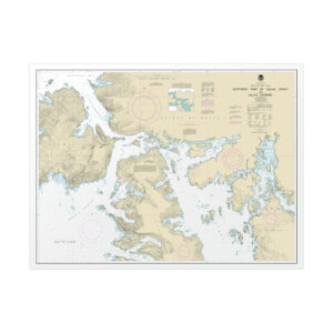
Framed Paper Print
Chart No. 17407
Northern part of Tlevak Strait and Uloa Channel
32" x 24" - 40" x 28"
$
224.95
–
$
354.95
Select options
Rolled Poster
Chart No. 17407
Northern part of Tlevak Strait and Uloa Channel
32" x 24" - 40" x 28"
$
56.95
–
$
109.95
Select options
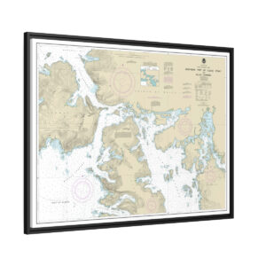
Floating Frame Canvas
Chart No. 17407
Northern part of Tlevak Strait and Uloa Channel
32" x 24" - 40" x 30"
$
184.95
–
$
294.95
Select options
Chart Category
Chart Number
Chart Title
Chart Size
Chart Type
Chart Number
Show More
Chart Title
Show More
Chart Type
Show More