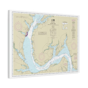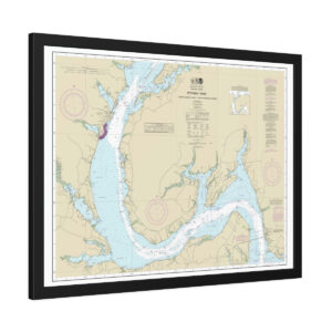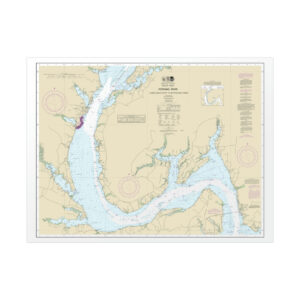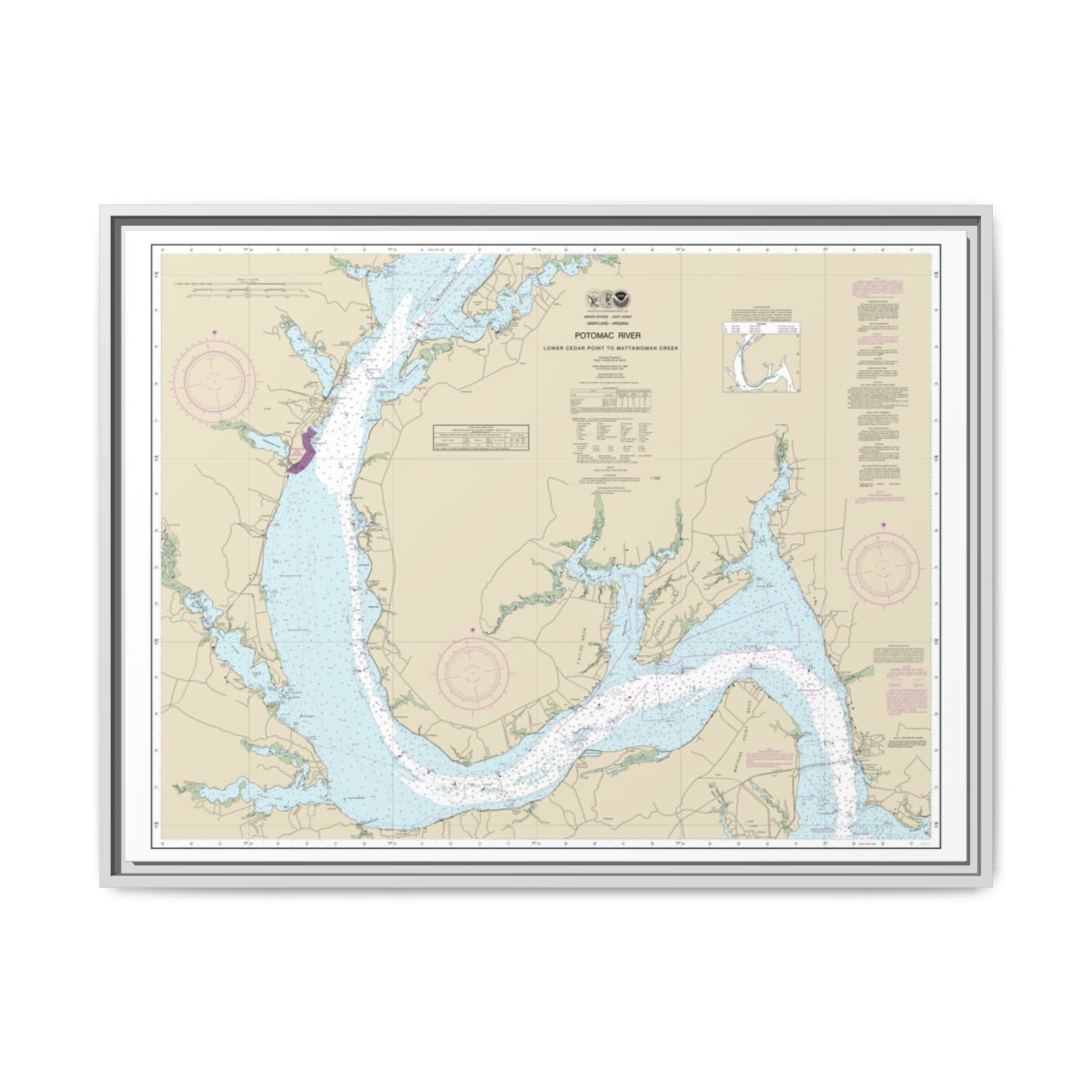
NOAA Chart 12288 - Potomac River Lower Cedar Point to Mattawoman Creek
NOAA Chart 12288 (Potomac River Lower Cedar Point to Mattawoman Creek) is available as a decorative wall print in wrapped canvas, framed paper print, rolled poster, floating frame canvas, in sizes up to 48″, from $56.95 with free US shipping and 30-day returns. Every print is reproduced from official NOAA chart data.