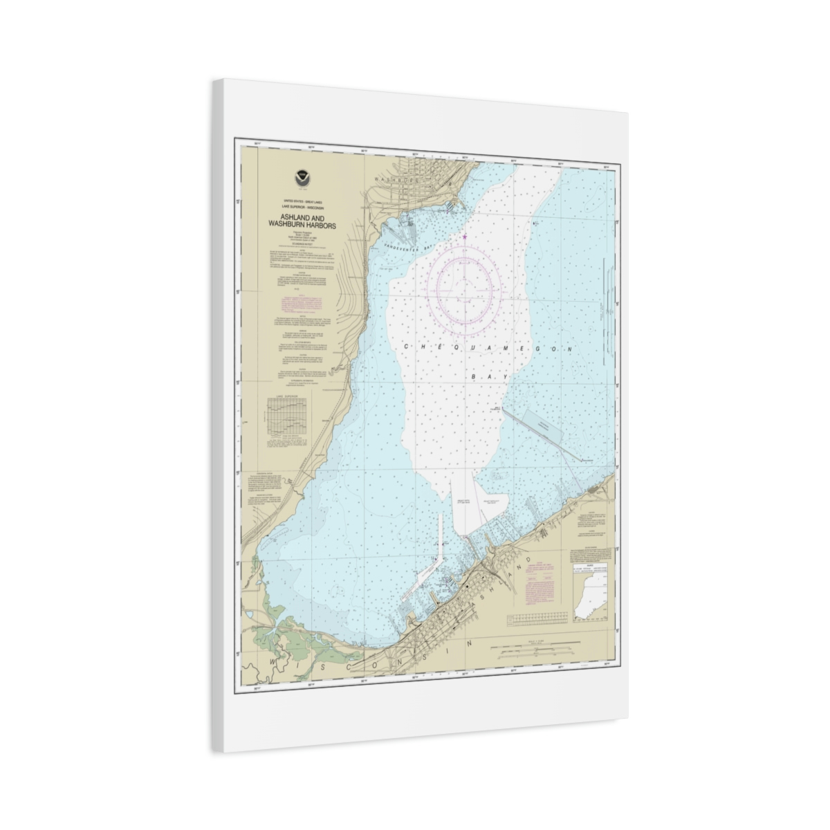
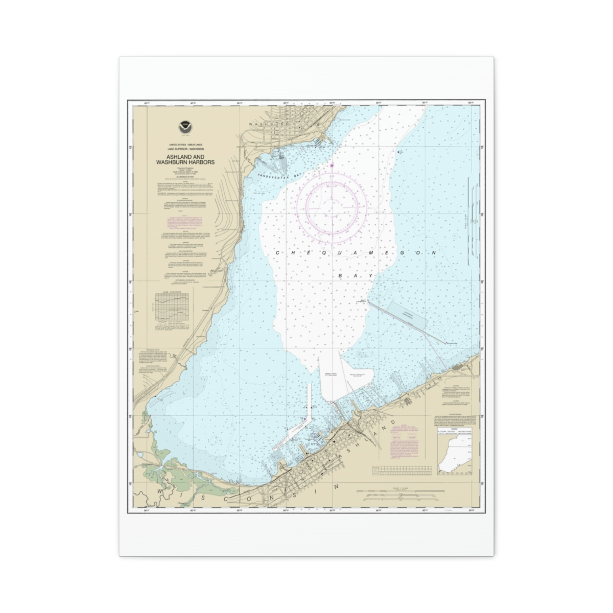
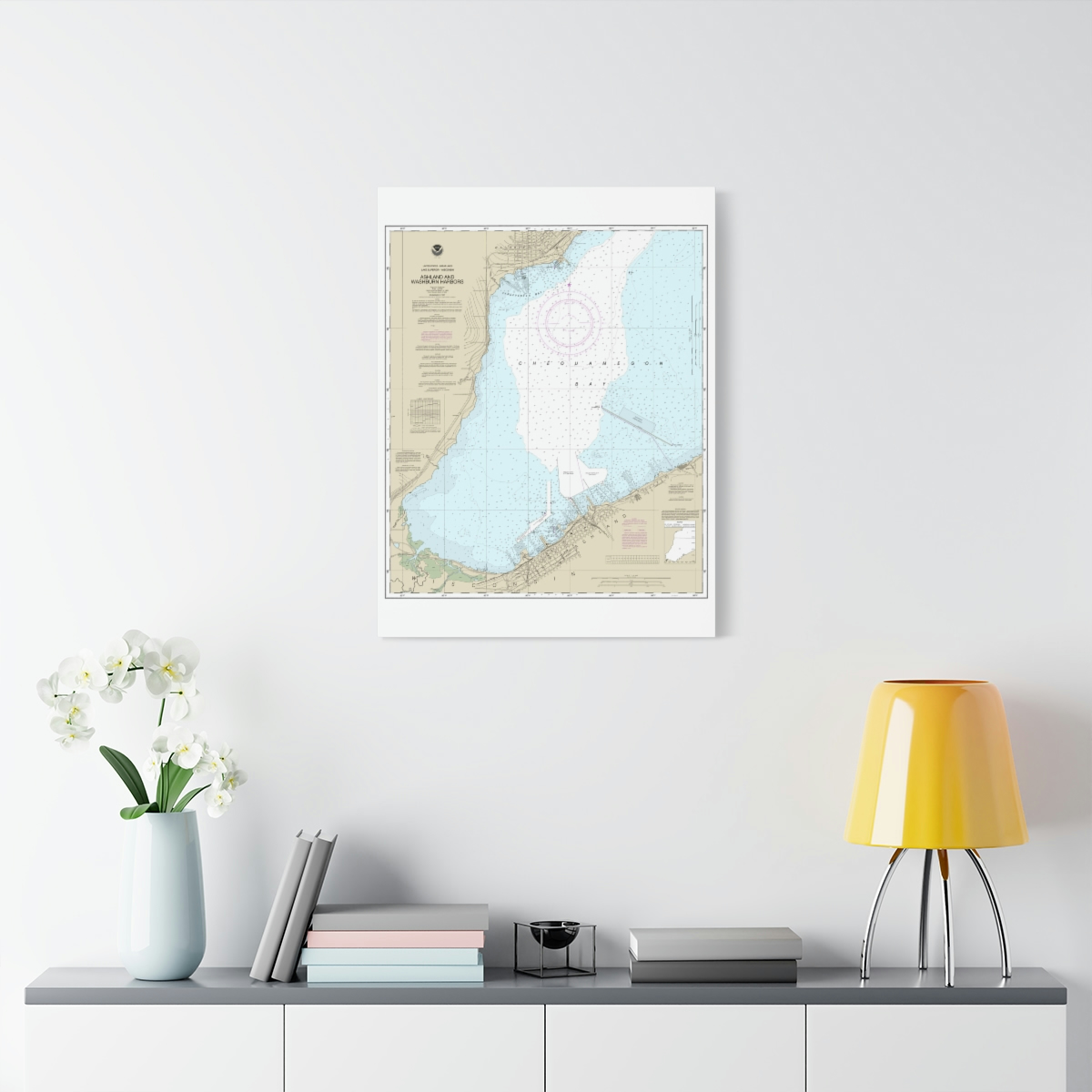
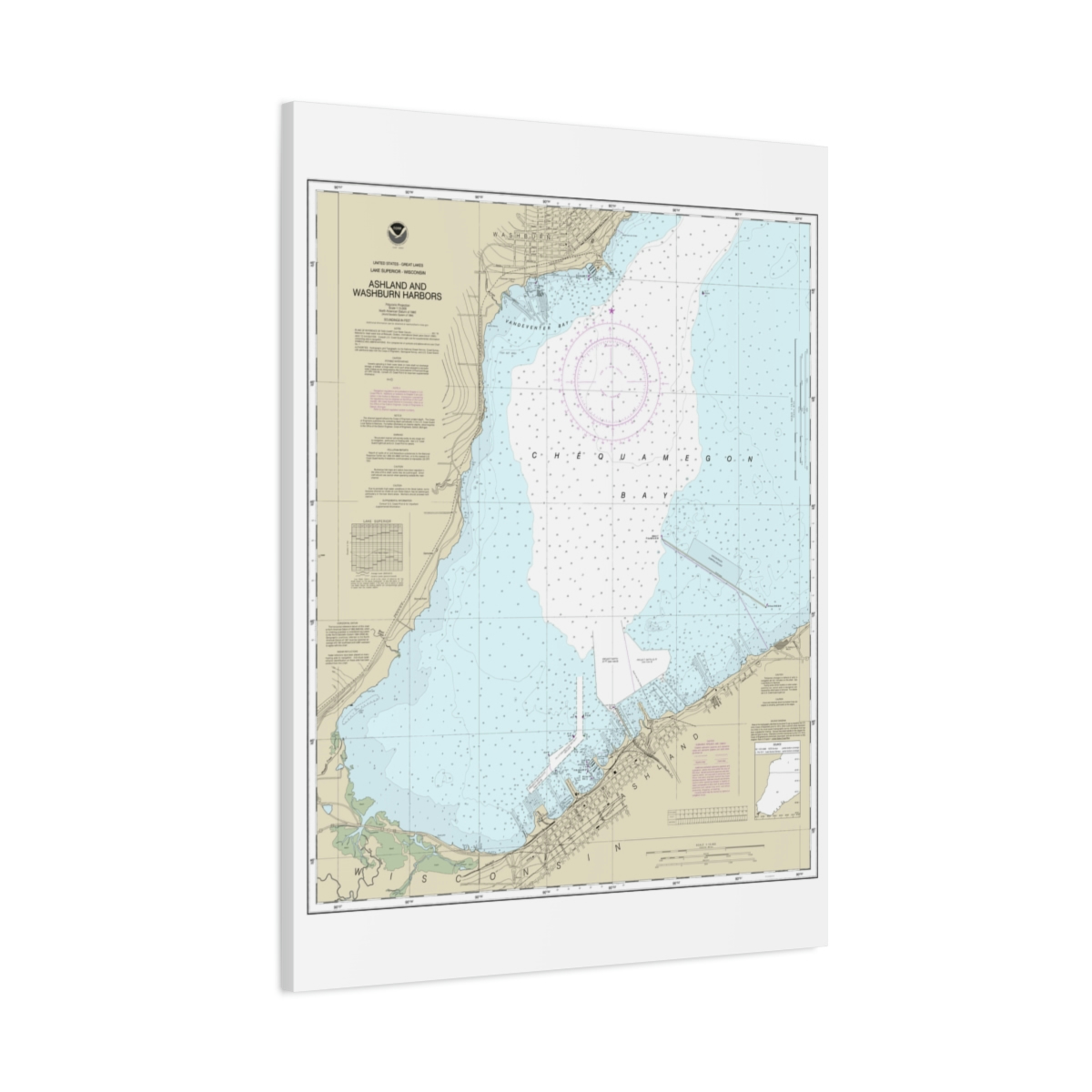
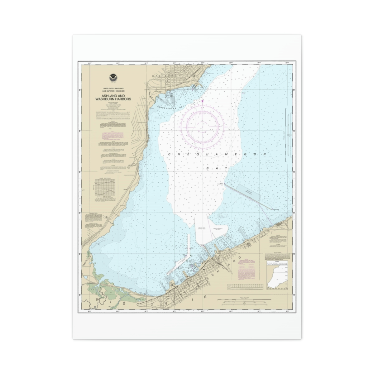
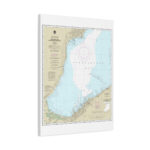
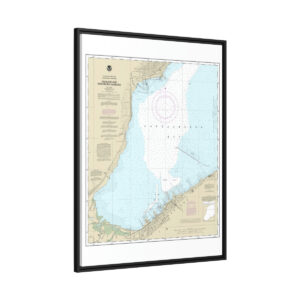
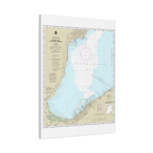
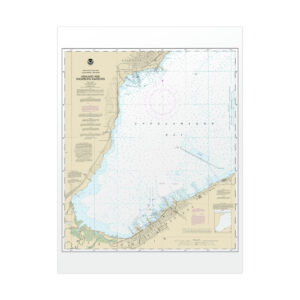
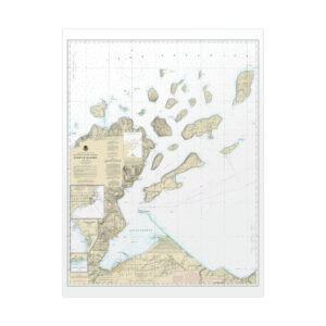
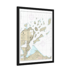
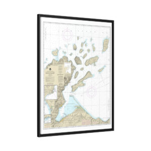
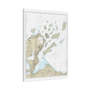
Chart Title: Ashland and Washburn harbors
Chart Title: NOAA Nautical Chart
Latitude: 46.5772777779897
Longitude: -90.9549666664335
Parent Category: Wall Decor
Category: Wrapped Canvas
Publishing Status: Published
Sustainable charts
The canvas charts are wrapped on our proprietary profile radial pine that is ethically sourced from FSC certified renewable forests
Vibrant Colors
The latest printing techniques provide bright and crisp colors for stunning displays
Latex inks
Unique canvas coating that produces the highest quality images using UL-certified Greenguard Gold inks that are non-hazardous, non-toxic, non-flammable
- Back hanging hardware included
- Profile radial pine frame
- Sustainably sourced materials
- Rubber dots for stability
- Multiple sizes
- Thousands of official NOAA Nautical Charts
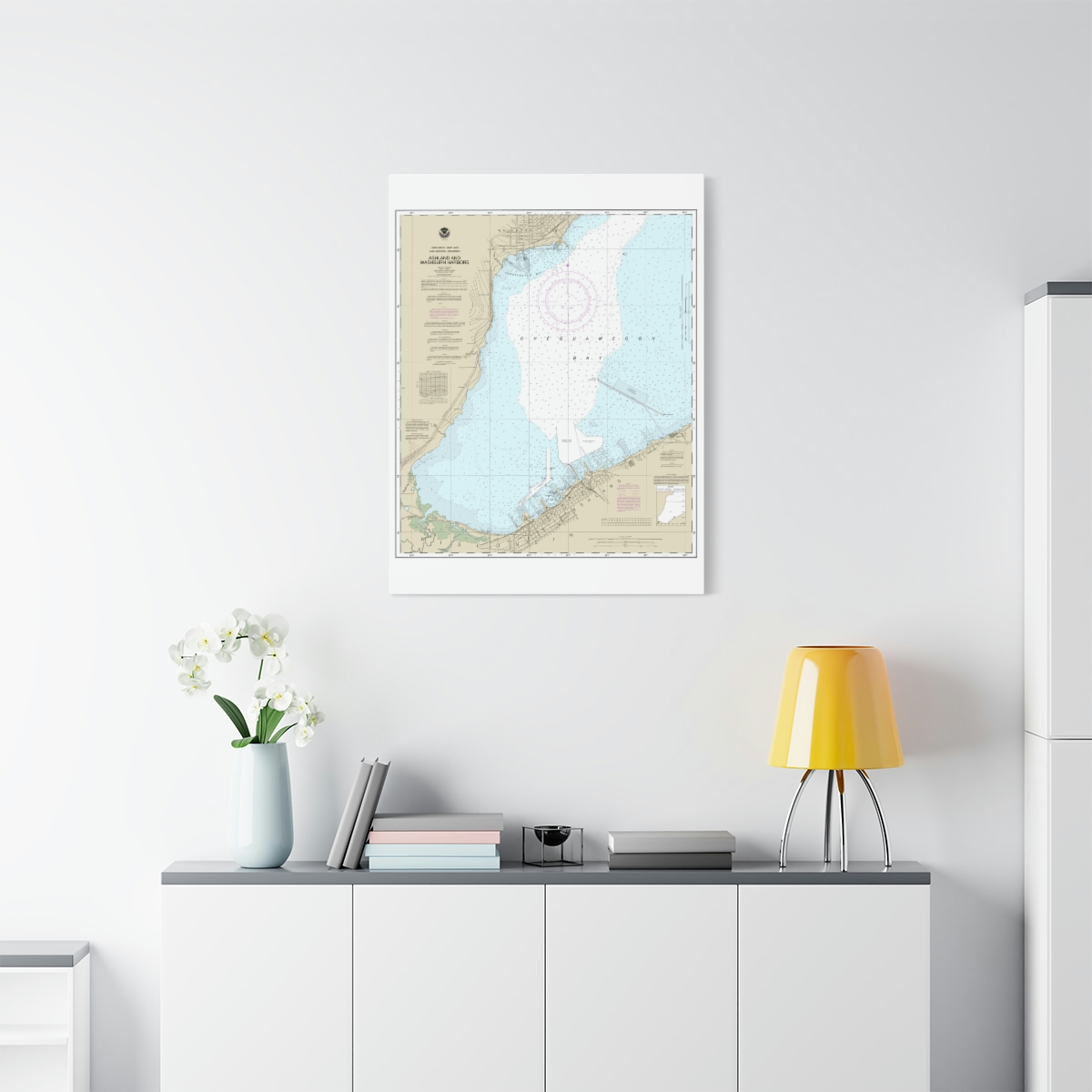
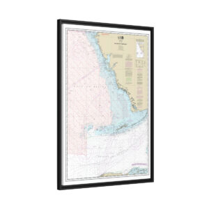
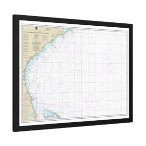
The Wrapped Matte Canvas Charts provide a sleek and beautiful display for all your charts, made with sustainability in mind. The profile radial pine frame is ethically sourced from FSC certified renewable forests and the back hanging is already included for convenient placement.
Chart Print uses a unique canvas coating and UL-certified Greenguard Gold inks to produce high-quality images, and the canvas charts are printed with latex inks that are non-hazardous, non-toxic, and non-flammable. The rubber dots on the bottom of the canvas ensure it stays in place when hung.
With our attention to detail and commitment to quality, your charts will not only be a functional but also a beautiful addition to your space.


Reviews
There are no reviews yet.